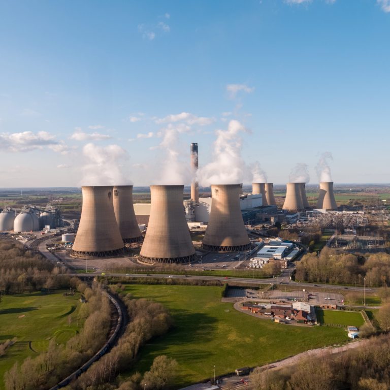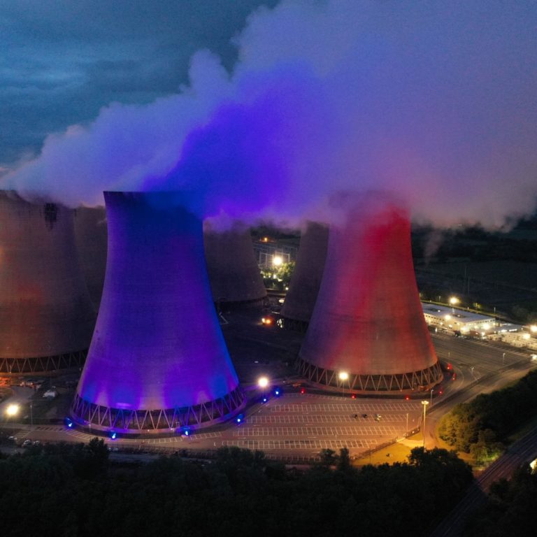


Hydro power is one of the most widespread sources of electricity generation in the world – it is also one of the biggest. Nine of the world’s ten largest power stations are hydro powered. Facilities such as the Three Gorges Dam on China’s Yangtze River and the Itaipu Dam (pictured below) on the Brazil-Paraguay border are capable of generating massive amounts of electricity.
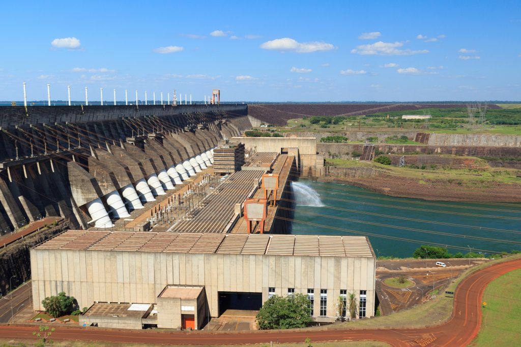
Itaipu Dam, hydroelectric power station on the Brazil-Paraguay border
But hydropower can also be very effective at a smaller, more local level, using relatively small rivers. These smaller hydro facilities can bring renewable electricity to remote areas and serve local needs. All they need is an abundance of flowing water to spin their turbines.
In Scotland, two schemes are making use of the country’s plentiful water sources to help the local community, the economy and the surrounding environment.
Turning river waterflow into power
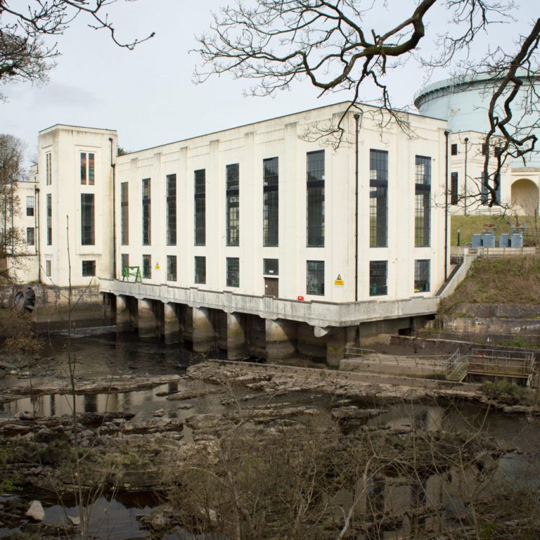
The Lanark and Galloway hydropower schemes are both located in rural Scotland and have been generating power for nearly a century. Despite being more than 95 kilometres apart, they operate in very similar ways.
Lanark (which includes two power stations – Bonnington, with a capacity of 11 MW, and Stonebyres, with a capacity of 6 MW) sits on the River Clyde and began generating power in 1926, making it one of the oldest hydro-electric plants in Great Britain.
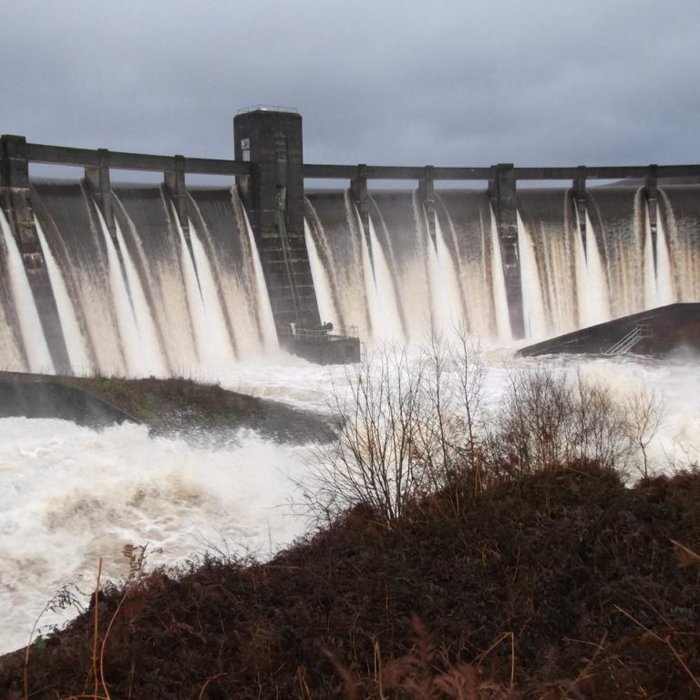
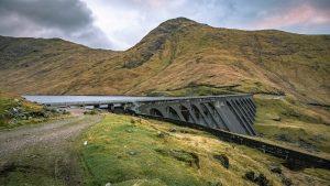
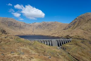
Galloway soon followed, coming online in the mid-1930s. It includes a total of six power stations – Glenlee, Tongland, Kendoon, Drumjohn, Earlstoun and Carsfad – eight dams and a network of tunnels and pipelines, giving it a capacity of 109 MW.
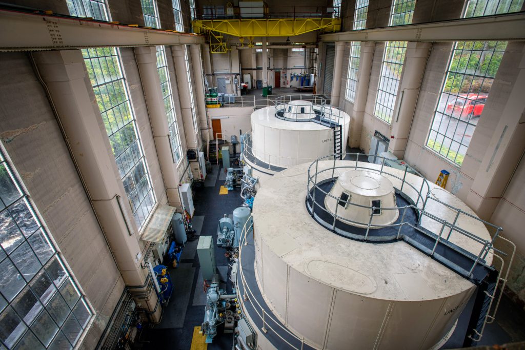
Kendoon Power Station Turbine Hall
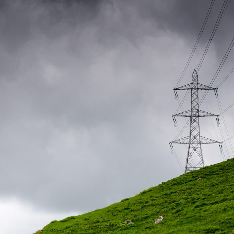
“There was always potential for hydro in the Galloway Hills but there wasn’t demand for 100 MW of power,” explains Stuart Ferns, Operations and Maintenance Manager on the Lanark and Galloway hydro schemes. “However, when the national grid was established in the 1920s it enabled surplus power to be transmitted beyond the local area to Glasgow and further afield.”
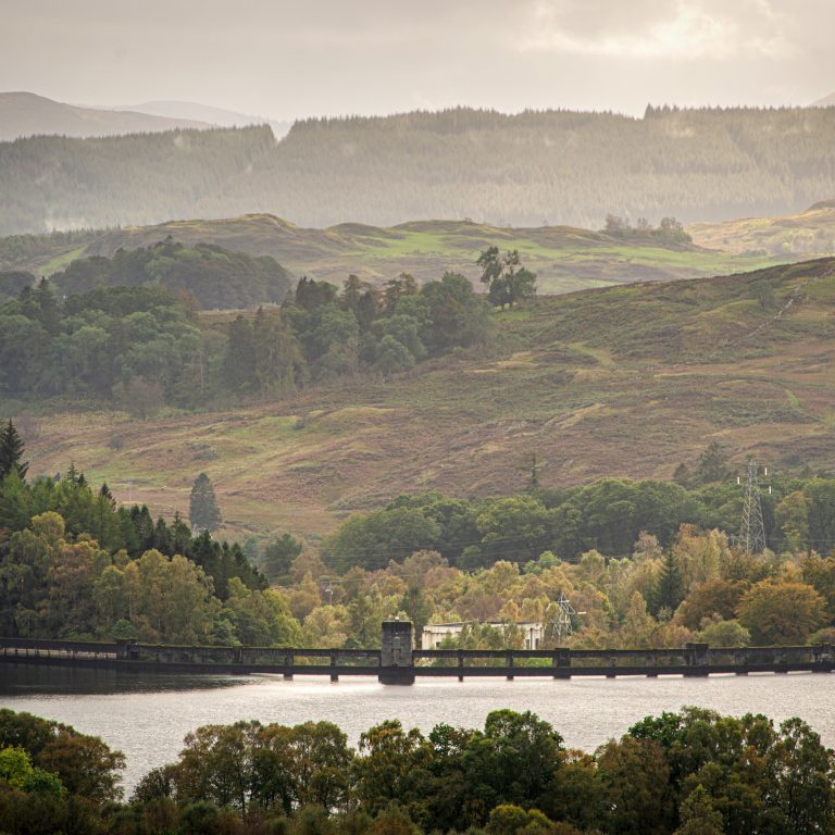
Unlike Lanark, which is situated about halfway down the River Clyde, the Galloway scheme spans the entirety of its river system from Loch Doon in the North to Tongland in the south. Both, however, cover a similarly sized catchment area of roughly 1,000 square kilometres.
Where they do differ is in the type of hydropower they generate and the needs they serve for their regions and the wider electricity grid.
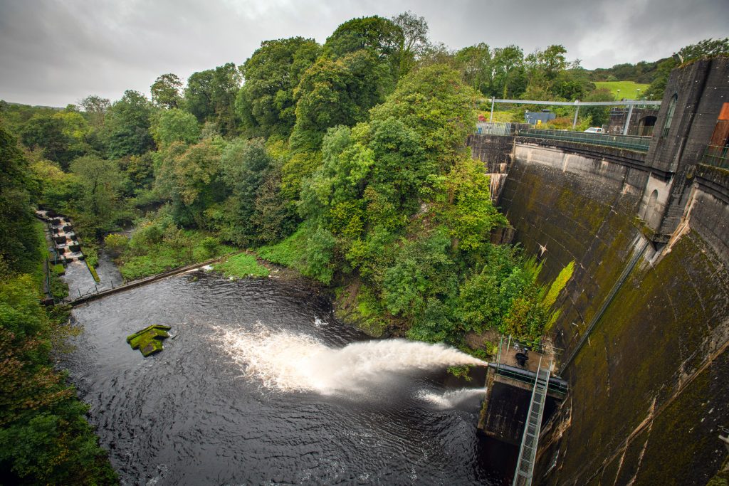
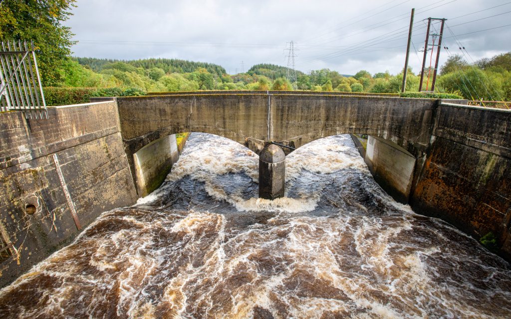
Tongland Dam
Lanark’s power stations generate electricity through what’s called ‘run-of-the-river’ hydropower, which describes a scheme where there is no dam to stop and store water along the river.
Instead, water from a flowing river is diverted into a power station situated alongside the river. Here the water is used to spin a turbine connected to a generator, before being returned back to the river. Lanark’s two power stations are both positioned alongside naturally occurring waterfalls, which allow them to take advantage of the natural gravitational pressure.
“The Lanark stations run constantly,” says O&M Manager Stuart Ferns. “They will run as long as there is water in the river. And generally, there is always some water available.”
The Galloway system is different. It only generates power when there are peaks in electricity demand. To do this it operates a conventional storage hydro scheme where dams situated along the river are used to create small reservoirs. When demand for electricity peaks – typically between 5pm and 7pm – water is released from these reservoirs and used to spin turbines and generate electricity.
During the day both schemes are monitored and controlled from Glenlee Power Station, halfway down the Galloway route. As night falls, responsibility instead falls to the control room at Cruachan Power Station, more than 200 kilometres away. Around-the-clock monitoring in this way is important as the uncertainty of Scotland’s weather can have effects on the schemes, and on their surrounding environment.
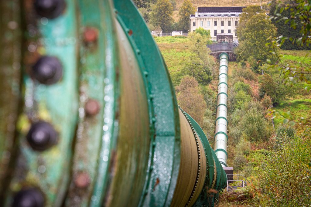
Penstocks leading to Glenlee Power Station
Working with the landscape
Dumfries & Galloway and Lanarkshire are regions defined and dominated by their river systems. As such, extreme weather can lead to occasional natural flooding. The Lanark and Galloway schemes not only have to be diligent in working with extreme weather, but they can actually play a role in monitoring and managing it.
“The Galloway reservoirs help to alleviate flooding because they can store water and help to alleviate flooding downstream,” says Ferns.
Staff at the scheme work closely with local authorities, landowners and the Scottish Environment Protection Agency (SEPA), sharing their weather forecasting and reservoir level data to help them predict which areas will be affected and when roads might need to be closed or even villages evacuated.
The team takes a similar approach to monitoring and protecting the local wildlife. Fish, such as north Atlantic salmon and trout, migrate upstream from the ocean through the Galloway Rivers using manmade fish passes (also known as ‘fish ladders’), which allow fish to bypass dams along the scheme.
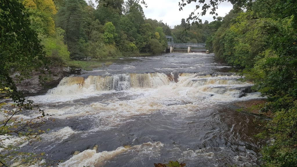
Waterfalls on the Clyde at Lanark
Lanark’s natural waterfalls mean it is not a route taken by migratory fish. However, ensuring there is always enough water in the rivers to protect fish and plant life factors into how both schemes operate with the landscape.
Working with the wildlife, weather and surrounding environment of the two rivers have always been a part of running the Lanark and Galloway schemes. Their continued role in the region’s electricity system highlights the relevancy of small-scale hydropower, even as demand for electricity grows.