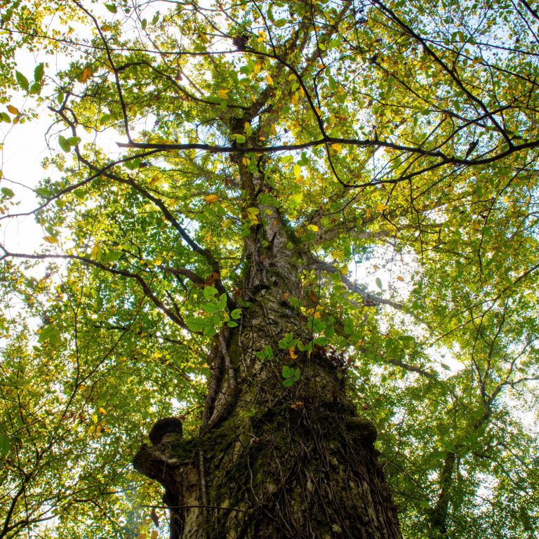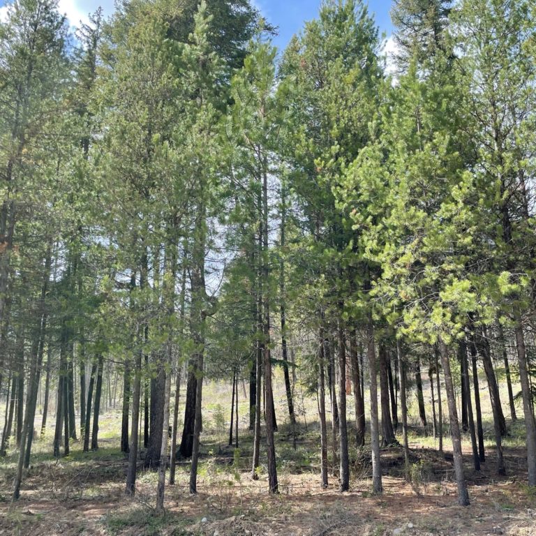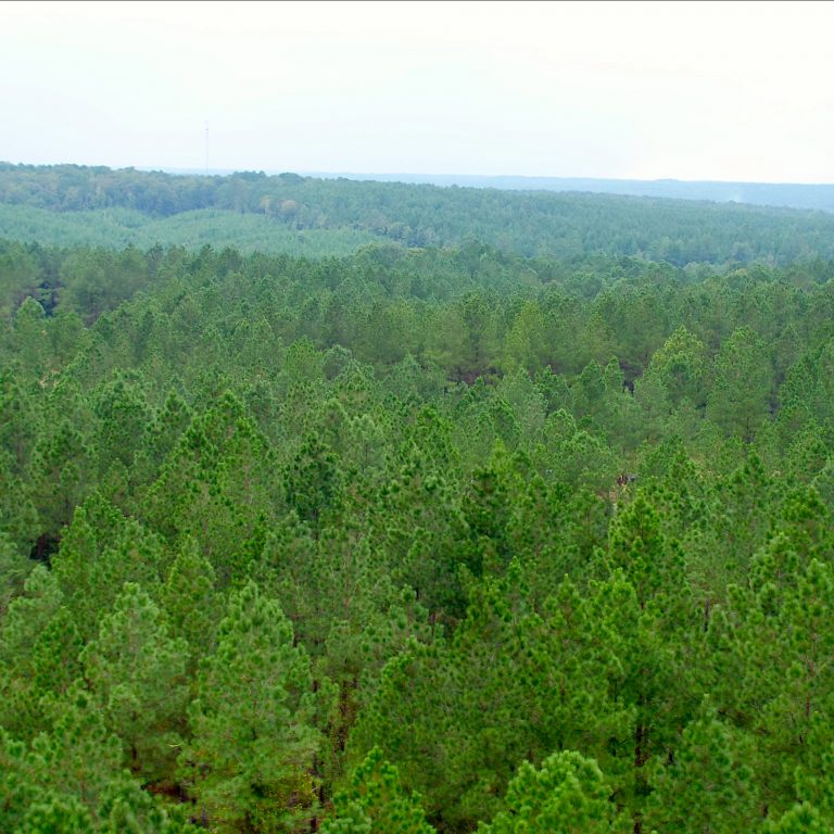


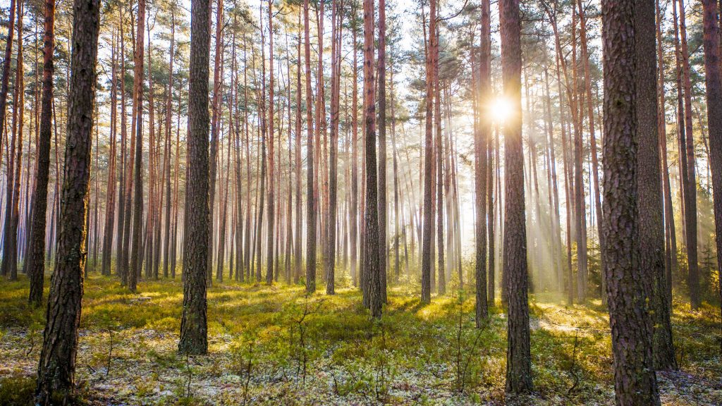
Can you count the number of trees in the world? Accurately, no – there are just too many, spread out over too vast an area. But if we could, what would we gain? For one, we would get a clearer picture of what’s happening in our planet’s forests.
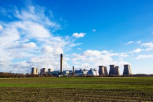
They’re a hugely important part of our lives – not only for the resource they provide, but for their role in absorbing carbon dioxide (CO2). So properly understanding their scale and what is happening to them – whether increasing or decreasing – and designing strategies to manage this change is hugely important.
The trouble is, they exist on such a vast scale that we traditionally haven’t been able to accurately monitor them en masse. Thanks to space technologies, that’s changing.
The view from up there
As far back as World War II, aerial imaging was being used to monitor the environment. In addition to using regular film cameras mounted to aeroplanes to follow troops on the ground, infrared film was used to identify green vegetation and distinguish it from camouflage nets.
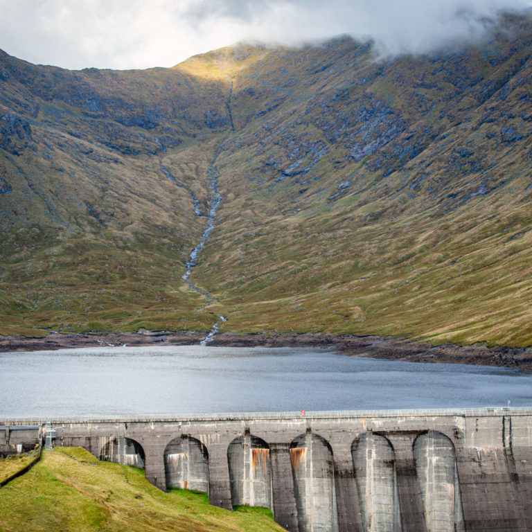
As satellite and remote sensing technology developed through the 20th century, so too did our understanding of our planet. Satellites were used to map the weather, monitor the sea, and to create topological maps of the earth, but they weren’t used to track the Earth’s forests in any real detail.
But in 2021 the European Space Agency (ESA) will launch Biomass, a satellite that will map the world’s forests in unprecedented detail using the first ever P-band radar to be placed in Earth orbit. This synthetic aperture radar penetrates the forest canopy to capture data on the density of tree trunks and branches. It won’t just be able to track how much land a forest covers, but how much wood exists in it. In short, the Biomass will be able to ‘weigh’ the world’s forests.
Over the course of its five-year mission, it will produce 3D maps every six months, giving scientists data on forest density across eight growth cycles.
The satellite is part of ESA’s Earth Explorers programme, which operates a number of satellites using innovative sensor technology to answer environmental questions. And it’s not the only entity carrying out research of this sort.
California-based firm Planet has 149 micro-satellites measuring just 10cm x 30cm in orbit around the Earth, each of which beams back around three terabytes of data every day. To put it another way, each satellite photographs about 2.5 million square kilometres of the Earth’s surface on a daily basis.
The aim of capturing this information is to provide organisations with data to help them answer the question: what is changing on Earth? When it comes to forests, this includes identifying things like illegal logging and forest fires, but the overall aim is to create a searchable, expansive view of the world that enables people to generate useful insights.

Keeping the world green
All this data is not only vital for developing our understanding of how the world is changing, it is vital for the development of responsible, sustainable forestry practices.
From 2005 to 2015, the UN rolled out the REDD programme (Reducing Emissions from Deforestation and forest Degradation), which, among other functions, allows countries to earn the right to offset CO2 emissions – for example through forestry management practices. Sophisticated satellite measurement techniques not only let governments know the rate of deforestation or afforestation in their respective countries, it can also help them monitor, highlight and encourage responsible forestry.
Satellite technology is increasingly growing the level of visibility we have of our planet. But more than just a clearer view on what is happening, it allows us the opportunity to see why and how it is happening. And it’s with this information that real differences in our future can be made.